Whether you are planning a single, overnight hike, or you’ll be hiking all 70 miles in several days, you will find the Laurel Highlands Hiking Trail (LHHT) the perfect place to relax and rewind. It is Western PA’s mountainous gem, and is here for the taking.
In this blog I’d like to provide some basic tips for planning your hike on the LHHT. I will try to address the most-asked questions about planning a hike that I have encountered over the years. This may be especially helpful if you are coming from out of the area.
Direction
There’s no good or bad direction to hike. The northern and southern terminuses both begin at roughly the same elevation. The LHHT then rises from these points to the ridgetop of Laurel Mountain, where it meanders up and down for the length of the trail. The northern end (Seward) seems to have a more gentle, steady rise, while the southern end (Ohiopyle) rises and drops sharply before finally reaching the top.
Many people choose to hike southbound when doing the entire 70 miles. The southern end of the trail empties into Ohiopyle, which during its peak season is busy with shops, stores, restaurants, and even free showers. The northern terminus, on the other end, leads into a quiet parking lot. The town of Seward, however, is not far, and offers a few amenities.
Shuttle & Parking
Once you have decide upon your direction of travel the next objective is to arrange a shuttle. Wilderness Voyageurs of Ohiopyle, PA is still the official shuttle service of the trail. Their fees can fluctuate depending upon shuttle distance and availability. I’ve also heard of hikers arranging rides through Uber or other ride-share services. However, their availability seems unpredictable.
Of course if you are coming to the area with more than one vehicle, then you can shuttle yourself. Overnight parking is available at each of the designated parking areas. Click here for details on each parking area. Allow at least one hour to drive from Ohiopyle to Seward.
Fees
Before staying the night at any of the shelter areas you must first make a reservation. You can do this online or by calling the park office (814-445-8673). The State charges $4/person per night for either shelter or tent site. Cut and split firewood is available year round at each of the shelter areas. There is no fee for dayhiking.
Water Supply
Potable water is available at only three places along the trail: at around mile 26 (near Seven Springs), the old Laurel Ridge Park Office (along RT 653), and the 653 trailhead parking lot.
At each shelter area handpumps are available to draw water. This water is non-potable and must be filtered or treated before consuming. The RT 271 shelter area pump is usually dry during summer months. However, water can be obtained at the 271 parking lot. During excessively dry weather some of these pumps require a great deal of pumping to produce water. During extremely dry weather conditions some pumps may not produce at all – but this is rare.
Stream Crossings
Especially in the southern section you will cross over many stream beds. The Park maintains small bridges over these waterways so you should not have to ford any streams.
Weather
Always check forecasts before hiking. Conditions are subject to change rapidly. During a long, 2018 hike I saw conditions ranging from snow to rain to 80 degree temperatures! Summer rains are often accompanied by electrical storms, and during winter it is not uncommon to find snow along the ridgetop without any at the lower points. Generally speaking, spring and fall nights will be cool, while summer evenings may be much warmer.
During winter, tarps can be hung around the shelter openings to provide a windscreen and keep heat inside. Two, 8′ x 10′ tarps with bungee cords or elastic straps are generally sufficient.
Dangers
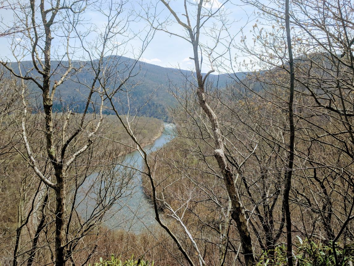
Dangers along the trail are mostly limited to ankle rolls or falls on the many rocks and roots that are scattered in abundance. There are a few places like the overlook at Victoria (around mile 3) or Beams Rocks (just off the trail near mile 41) that are high enough to cause serious injury or death from falling. Caution should be exercised when approaching those overlooks.
Black bears are plentiful, though not often seen. Generally they are skittish and will retreat if given the opportunity. Never approach one as they can be unpredictable, especially during the spring mating season.
Rattlesnakes can be found in warmer weather. They are not aggressive by nature, but will strike if threatened. Give them space, and do not attempt to handle.
Ticks pose the greatest threat in my estimation. They may transmit Lymes Disease, and will latch on without being noticed. Generally they are found on higher grass and brush. Hikers should avoid leaving the trail and walking through uncut sections of the forest. You can reduce your exposure by remaining on the trail as much as possible. Treating clothing with Permetherin is also recommended.
Food Storage/Garbage
A common question that is asked is of food storage at night. In my opinion, bears do not pose as big of a threat to food supplies as other critter such as mice, racoons, and skunks. Bear-proof storage canisters are not provided at the shelter areas. Therefore, it is advisable to suspend your food from a nearby tree on some cordage.
As of March 2022, food poles have been installed at a number of the shelter areas. Food bags can be hung on these to keep them safe.
Leave No Trace principles are urged along the LHHT. Carry your garbage with you during the day and dispose of it at the shelter areas in the provided garbage canisters.
Trail Marking
The LHHT is marked with yellow blazes and generally easy to follow. All shelter areas are clearly designated by large signs along the trail. Blue blazes lead from the LHHT to the shelters and parking areas. The LHHT may crisscross other trails; just keep your eyes on the yellow blazes.
Cell Phone Reception
Along the ridgetop mobile phone reception is generally good. There are a number of dead spots, however, and since the shelter areas are lower, these tend to be much weaker locations.
If you have any specific questions about the LHHT you can call the Park office at the number mentioned above during usual business hours. You can also contact me by clicking this link and I will try to respond as quickly as possible.
By adequately preparing yourself and your group you should be able to more fully explore and enjoy the treasure of the Laurel Highlands that is the LHHT.
Dane
Dane Cramer is a backpacker, follower-of-Jesus blogger, jail chaplain, amateur filmmaker, Podcast host, and author of two books: Romancing the Trail and The Nephilim: A Monster Among Us , and has worked as an investigator for over 35 years.